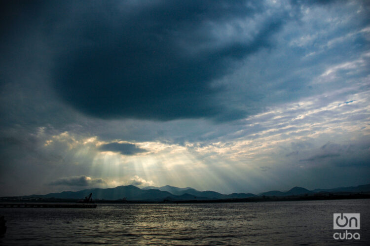
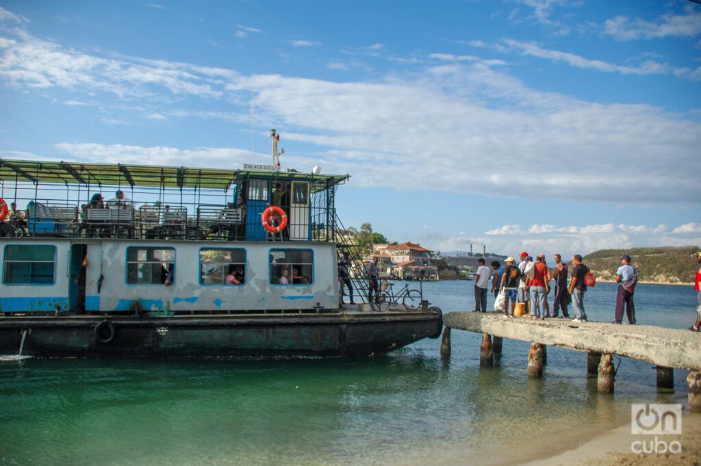
During 2002, while I was studying my first year of Journalism at the University of Oriente, Santiago de Cuba, I took advantage of my free time to explore the city and its surroundings. More than once I embarked aboard the barge that left from a dock near Alameda Park and sailed through the bay. The expedition was perfect for a student like me, since the trip was very economical, barely a peso at that time.
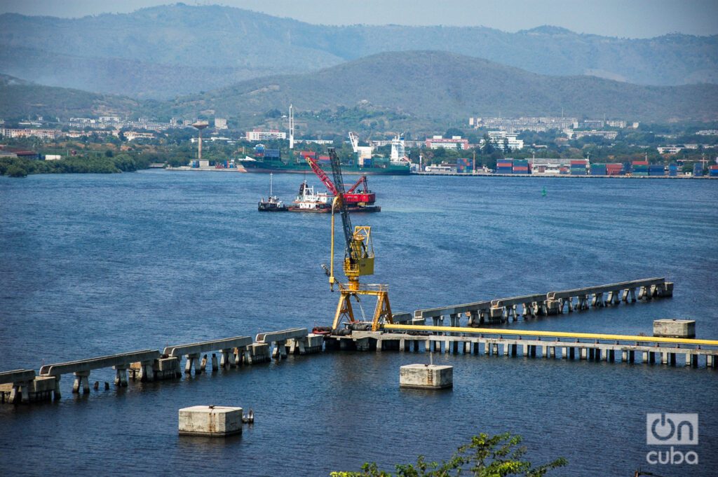
The bay of Santiago de Cuba, characterized by its narrow entrance channel, covers an area of 11.9 km² and has a maximum length of 6.5 km. Its average depth reaches 8 m, with maximum points of up to 21 m. With a total perimeter of 41 km, the bay is connected to the Caribbean Sea through a narrow channel.
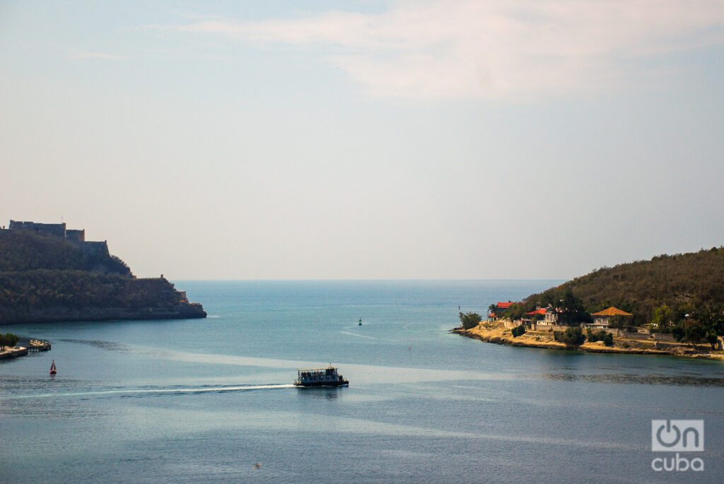
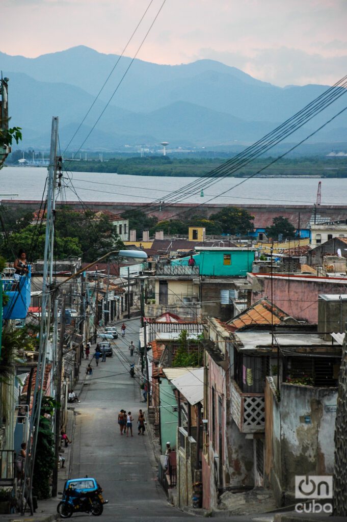
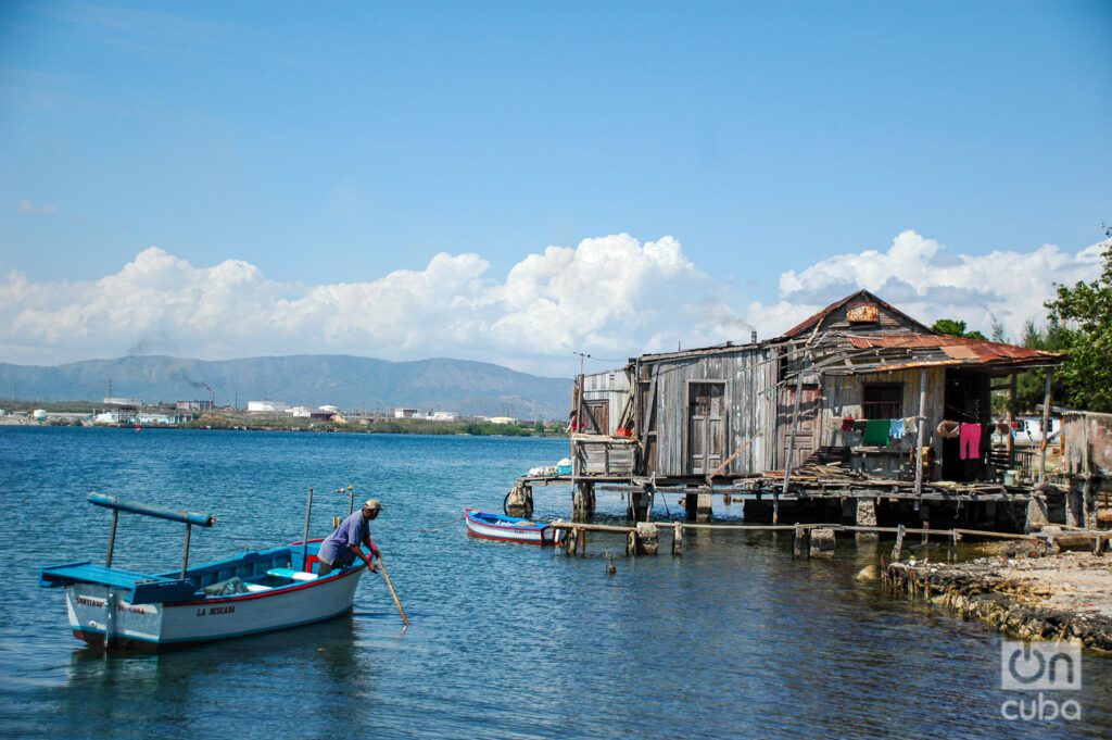
Each element that makes it up is an integral part of its history. From the calm waters that welcome local fishermen every morning to the centuries-old fortress, passing through the picturesque neighborhoods where humble and friendly neighbors now reside. In addition, there is a landscape of cliffs with lush vegetation and the majestic mountains of the Sierra Maestra, which rise imposingly on the horizon.
The history of the place dates back to the indigenous communities that settled here long before the arrival of Christopher Columbus on his second voyage in 1494.
In the summer of 1515, behind the bay, Diego Velázquez founded the city of Santiago de Cuba. From that year until 1607 it was the capital of the country.
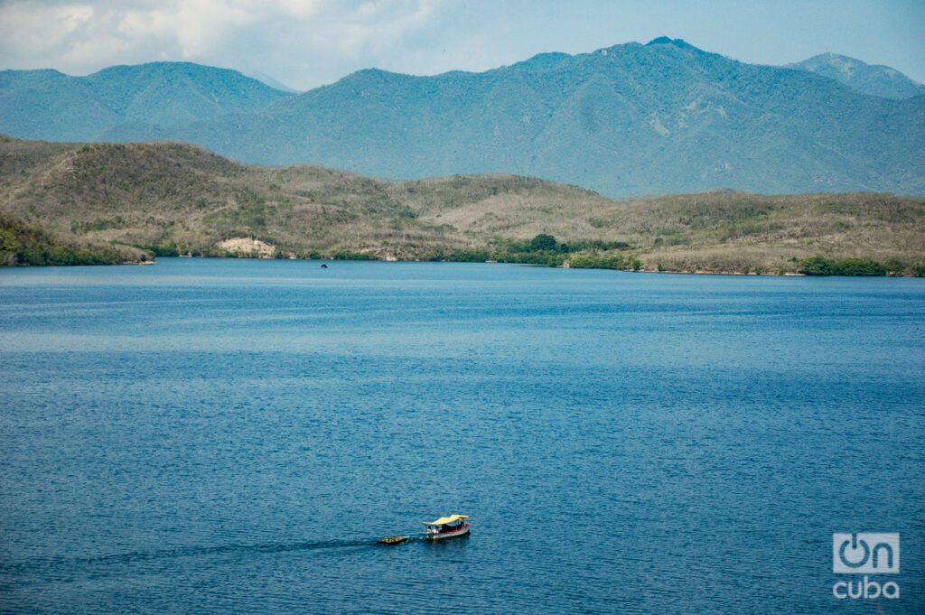
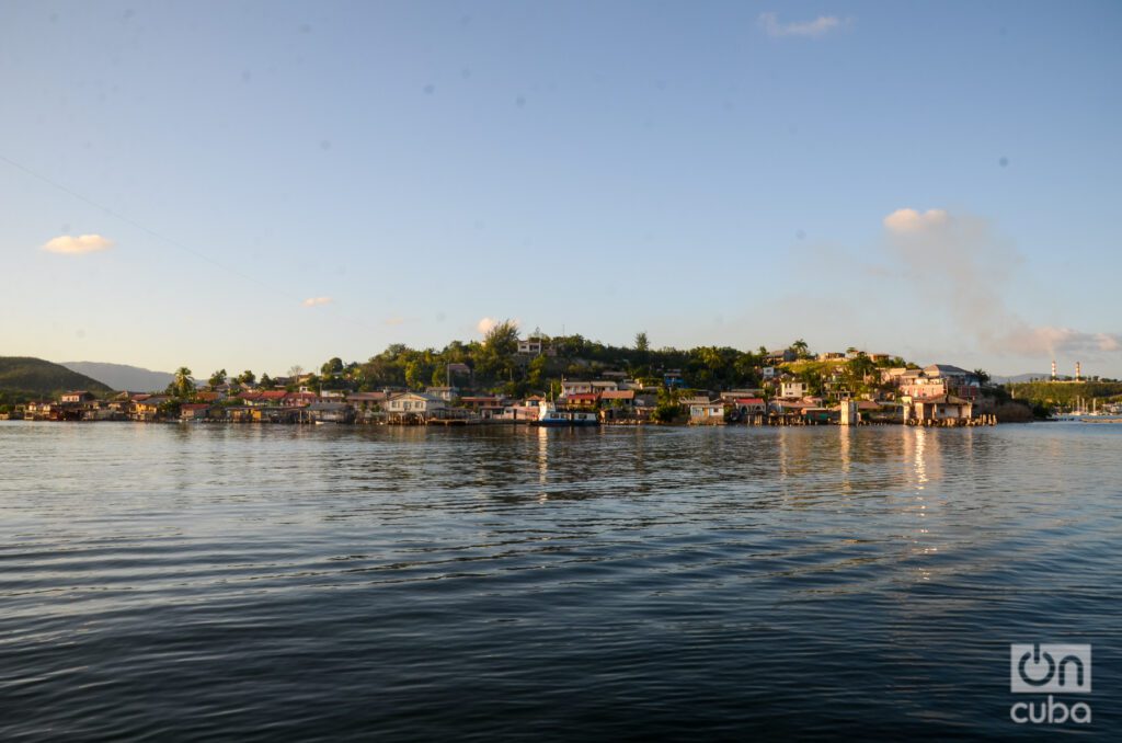
Very quickly the port of Santiago became the heart of trade and exploration in the region; starting point for numerous expeditions to Central America and the destination for ships loaded with slaves from Haiti and Africa.
It didn’t take long for the filibusters to arrive. The first recorded pirate attack took place in 1538, when a French privateer encountered the caravel La Magdalena, under the command of the Sevillian Diego Pérez.
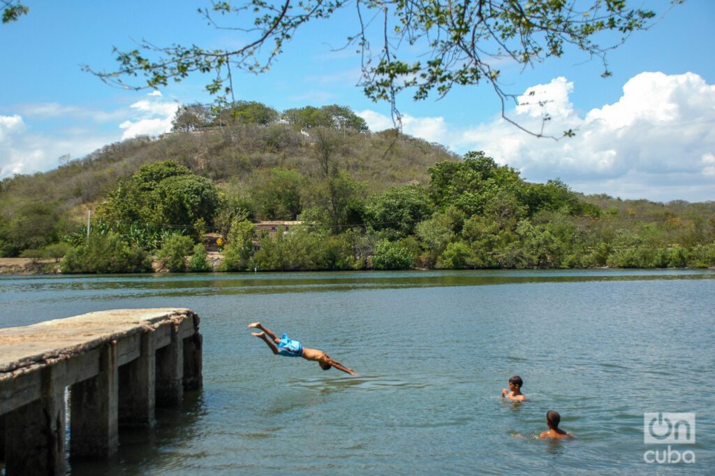
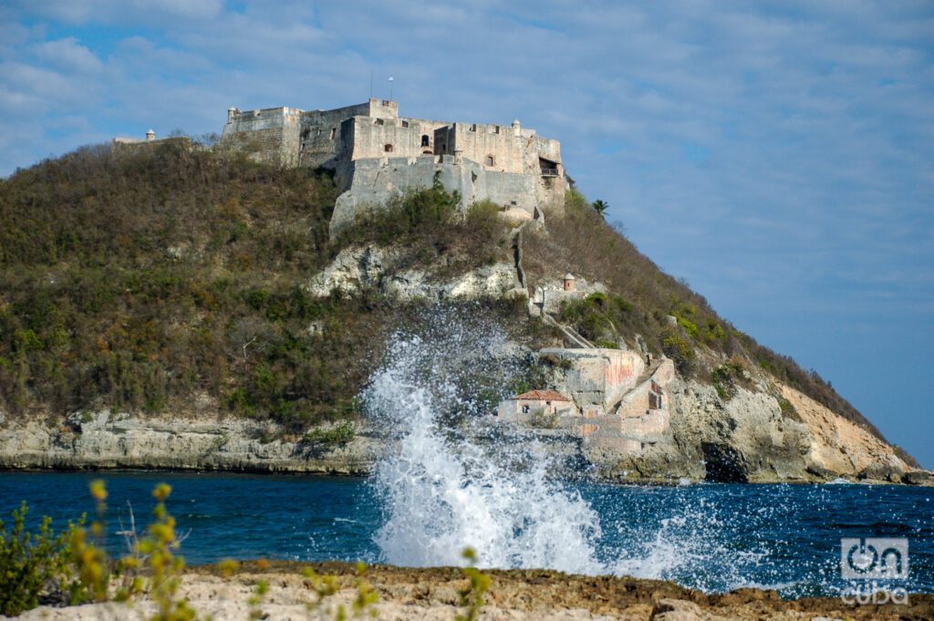
To protect the town from such threats, the governor, Captain Don Pedro de la Roca y Borjaen, ordered the construction of a fortress in 1643. The Castle of San Pedro de la Roca del Morro, faithful watchman at the entrance to the bay, was declared a World Heritage Site in 1997 for its historical and architectural relevance.
The Naval Battle of Santiago de Cuba was also fought near those waters on July 3, 1898, between the fleets of the United States and Spain, a bloody episode of the Spanish-Cuban-American War.
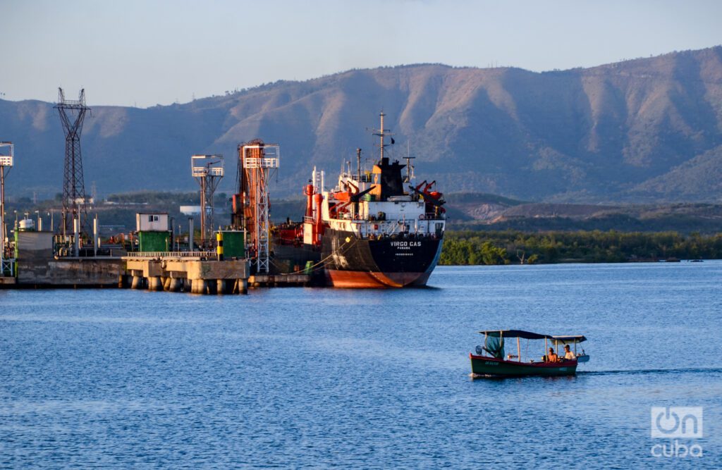
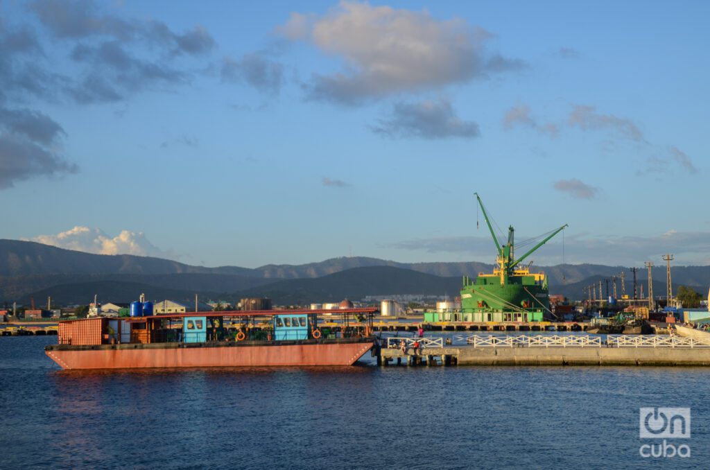
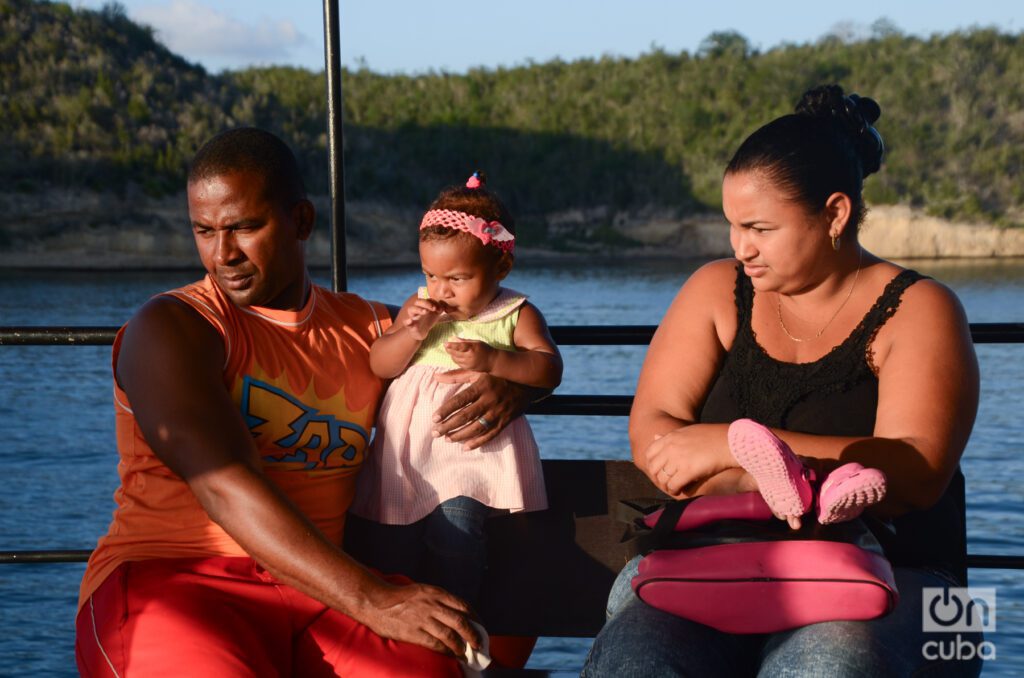
In the coming and going of that barge (which still sails the bay today) the daily pulse of the locals was taken, who made maritime transport their main means of transportation. The barge, serene on its journey, arrived at the different enclaves along the coast.
Several times I spent the entire day on board that barge, capturing moments with my camera. Those were the times when I started delving into photography.
Among the settlements in this marine enclave, emblematic communities such as La Socapa and Ciudamar stand out.
However, none evokes as much charm as Cayo Granma, formerly known as Smith. This tiny redoubt, home to around a thousand souls, stands as a bastion of tradition. A single street winds around the key, offering a trip that can be completed in just half an hour.
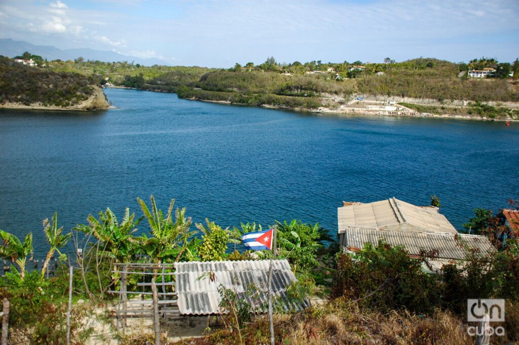
Despite the passage of time, some wooden structures still standing attest to the architecture of past decades, painstakingly erected since the dawn of the 20th century.
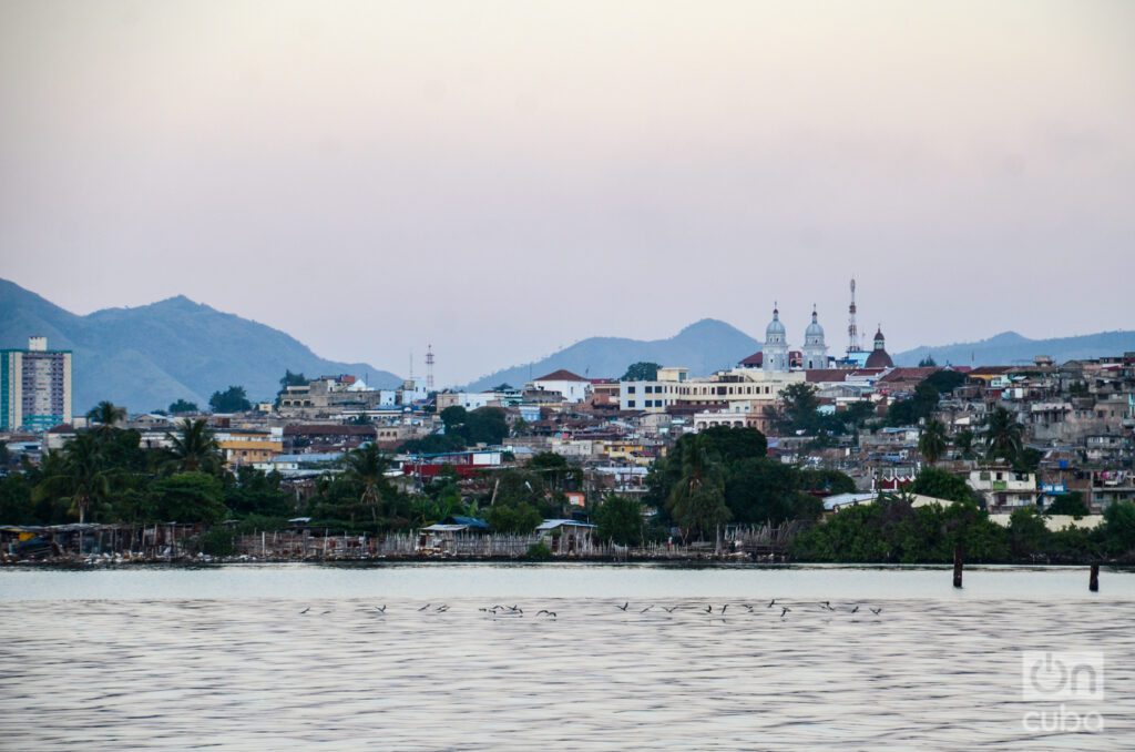
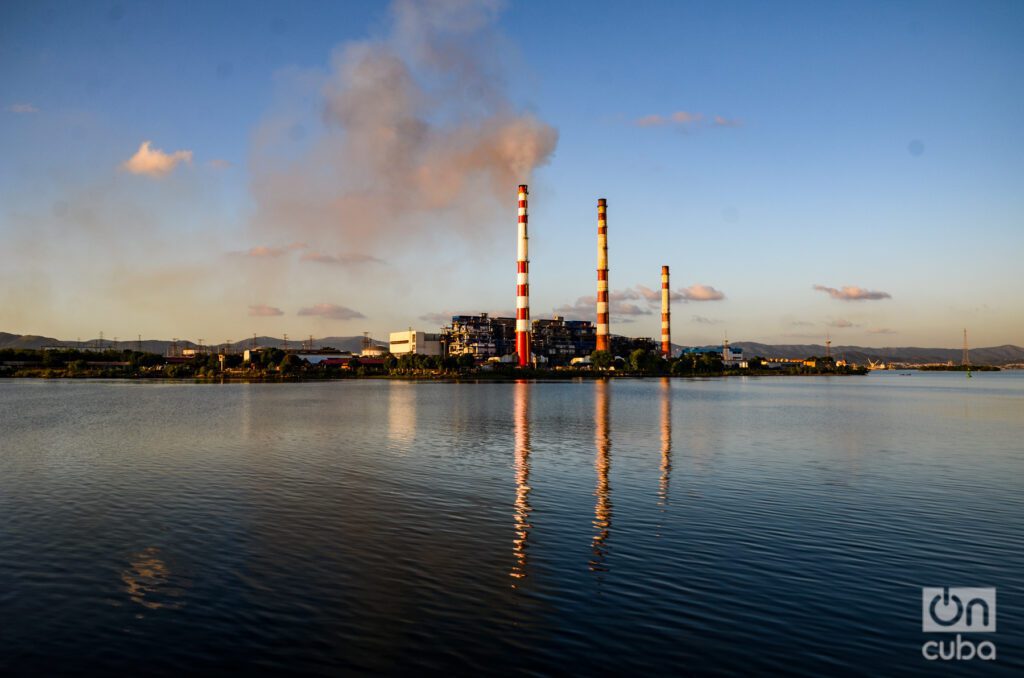
Within the bay, there are relevant infrastructures such as the port of Santiago de Cuba, the second most important in the country; Frank País Park; the Hermanos Díaz oil refinery; the Antonio Maceo thermoelectric plant, known as Renté; and the José Merce cement factory.
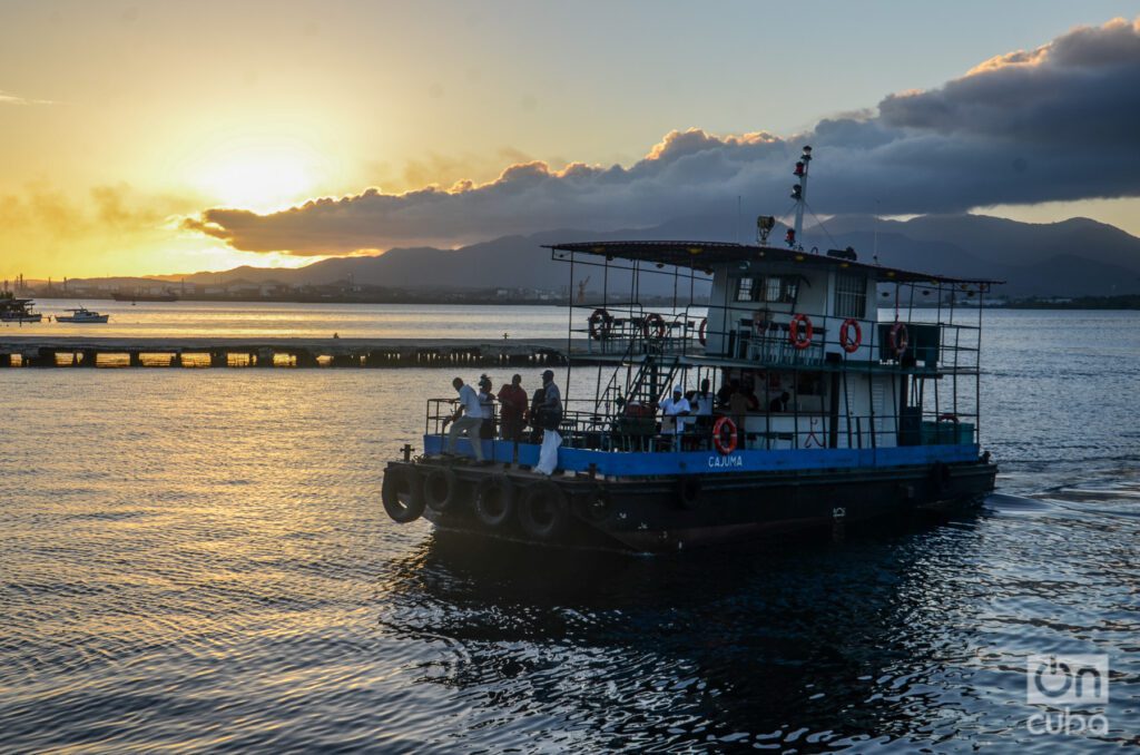
Every time I return to Santiago de Cuba leads me inexorably back to the bay, where the trip on the barge reminds me of those of yesteryear, when I was a student. More than the smell of saltpeter, in this corner you can breathe the essence of the history and nature of the place. A unique destination in the Caribbean that invites you to immerse yourself in its fascinating coastal landscapes, the life of its people and the vestiges of the past.

